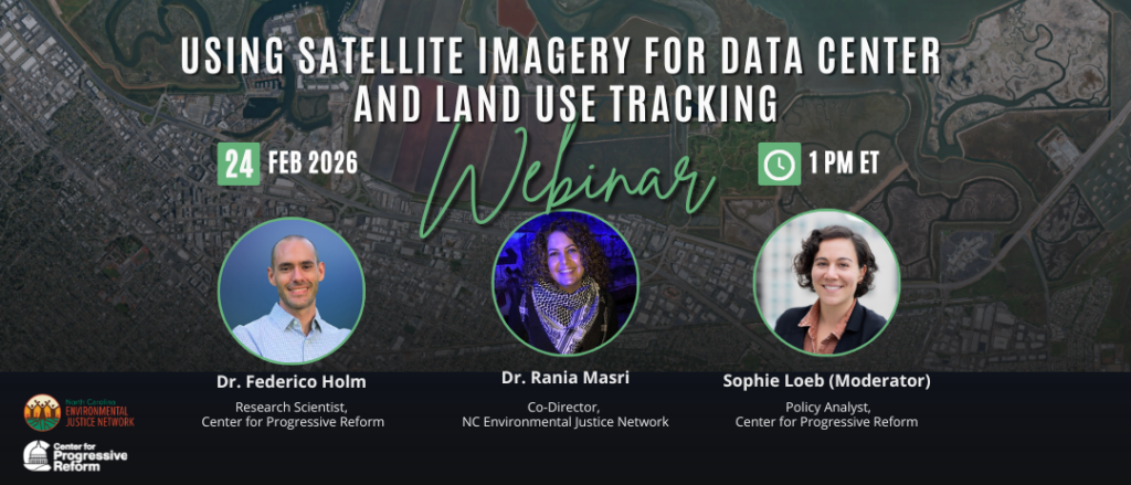
On February 24, the Center for Progressive Reform and the North Carolina Environmental Justice Network hosted a webinar, “Using Satellite Imagery for Data Center and Land Use Tracking.” The webinar introduced attendees to an open-source pipeline to acquire, export, and process satellite images, as well as some case studies that showcase the potential for this approach.
The webinar also served as a training opportunity, providing an overview of the basic concepts and opportunities these tools enable. We aim for this to be a starting point in satellite imagery and GIS applications.
Panelists introduced the audience to what satellite imagery is; explained the necessary steps for constructing a pipeline to acquire images and using them to create other visual outputs; and walked attendees through some relevant case studies where these resources show their real value.
Our speakers
- Dr. Federico Holm, Research Scientist, Center for Progressive Reform
- Dr. Rania Masri, Co-Director, North Carolina Environmental Justice Network
- Sophie Loeb, Policy Analyst, Center for Progressive Reform (moderator)
A recording of this webinar is available on YouTube.
Additional resources
- Slides from Dr. Federico Holm, Center for Progressive Reform
- Slides from Dr. Rania Masri and Luma Kennedy, North Carolina Environmental Justice Network
- Github repository (includes all scripts discussed during the webinar, as well as a Readme text file)
- Megawatts Over People: The Real Cost of Artificial Intelligence — and Why It Is Not Inevitable, Dr. Rania Masri, North Carolina Environmental Justice Network
- Updates on the Fight Against Data Centers: Edgecombe County, Dr. Rania Masri, North Carolina Environmental Justice Network
- Hydra: The Hidden Costs of Data Centers (video of a panel on data centers recorded at North Carolina Environmental Justice Network’s Summit 25)
- Click here to access the shared depository of news and toolkits on data centers and AI and request access
- To join the NC Data Center Network — fighting to stop data centers — email Dr. Rania Masri
- Subscribe to the North Carolina Environmental Justice Network newsletter